
How a satellite oil palm census works
· 5 min read · By the Plantation Monitoring team
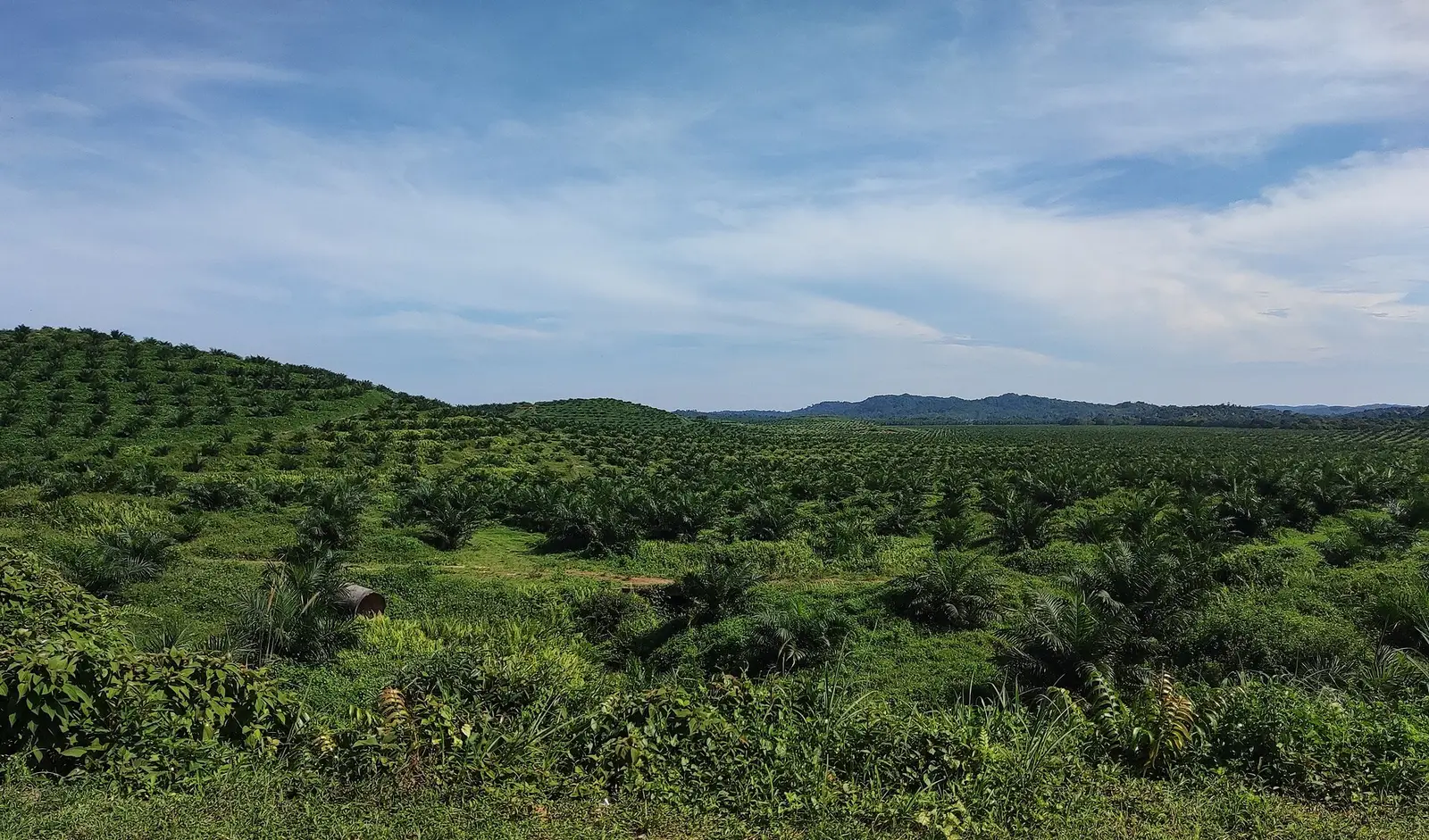
An oil palm census answers a simple question: how many productive palms are standing in each block, and where are the gaps? On a large estate, a walking count is slow and gets out of date quickly. Satellite imagery can give a first count for every block, which you then check.
How palms are found from above
Mature oil palms have wide, star-shaped crowns that are easy to separate from the ground in good imagery. A census method finds each crown, places a point at its centre and counts the points inside the block boundary.
The key limit is image detail. A palm crown is several metres across, so counting individual palms needs imagery with pixels clearly smaller than a crown. Free medium-resolution imagery is excellent for vigour and change across a block, but it is too coarse for a reliable tree-by-tree count on its own. Ask any provider what imagery its census uses.
A useful sanity check on spacing
Palms are usually planted in a triangular pattern. At a 9 m triangular spacing, each palm has about 70 square metres, or roughly 143 palms per hectare. If a block's planting record says 9 m triangular and the count is far below that, you have either gaps or a counting problem, and both are worth knowing.
What a census can miss
- Young palms, whose crowns are still small and may be hidden by ground cover.
- Palms under cloud or shadow on the day the image was taken.
- Crowns that overlap in older blocks, which can lead to undercounting.
- Palms inside a block that were planted at a different density from the record.
Check it on the ground
Pick a few sample plots per block, count the palms by walking the rows, and compare with the satellite count for the same plot. If they agree closely, you can trust the block-level count for planning. If they do not, the pattern of the difference (young palms, overlap, cloud) tells you how to adjust.
Turn the count into decisions
The count matters when it drives something: a replanting list, a fertiliser order, a harvest-labour plan. Plantation Monitoring flags missing and dead trees by block, gives young palms an age allowance, and marks counts as indicative so the ground check stays part of the process.